
Geographic Information Systems or commonly known as GIS software is a software that creates, analyzes, and displays geographic data on digital maps. This category of software encompasses a wide array of features, most of them involving the use of digital maps and georeferenced data.
Popular/Ideal features of a Geographic Information System Software.
- 3D Imagery
- Census Data Integration
- Color Coding
- Image Exporting
- Image Management
- Internet Mapping
- Interoperability
- Labeling
- Spatial Analysis
Today’s article will talk about the best Geographic Information System software in 2022. The article will discuss the features and pricing of each product. The order of the article is decided on the basis of the number of reviews given to each product. Let’s dive right in!
1. ArcGIS Online – Mapping and analysis: location intelligence for everyone.

About ArcGIS
ArcGIS is an integrated collection of GIS software products that provides a standards-based platform for spatial analysis, data management, and mapping. The software is web-based and on-premise platform that helps businesses of all sizes with workflow automation, geocoding, spatial mapping, collaboration, workforce routing, data management, remote sensing, and more.
ArcGIS Features
- 3D Imagery
- Census Data Integration
- Color Coding
- Geocoding
- Image Exporting
- Image Management
- Internet Mapping
- Interoperability
- Labeling
- Map Creation
- Map Sharing
- Spatial Analysis
- Behavioral Analytics
- Data Visualization
- Demographic Data
- Geocoding
- Geofencing
- Location Tracking
- Predictive Analytics
- Trade Area Analysis
- Dispatch Management
ArcGIS Overview
- Deployment – Windows, Web-Based, Cloud, SaaS, iPhone/iPad and Android
- Training – Live Online, Webinars and Documentation
- Support – 24/7 (Live Rep), Business Hours and Online
ArcGIS Video Support – https://www.youtube.com/channel/UC8uDeOKaym3MA2QWGCsYIFQ
2. etap – Powering Success.
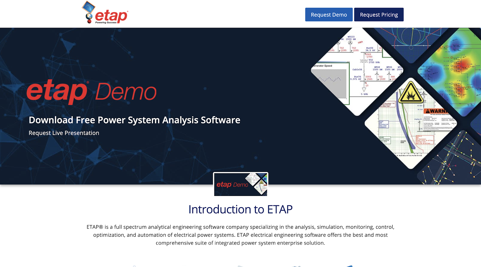
About etap
ETAP GIS provides tools to owners, operators and planners to better design, analyze and expand their electrical networks. It can include transmission, sub-transmission and distribution networks in the same electrical model and solve the combined networks. ETAP GIS can include detailed substation layouts, individual tower configuration, and generation plant details using a geospatial layout.
etap Features
- Intelligent Time-Saving Capabilities – Streamline Project Execution
- Enterprise Solution – Modeling to Operation
- Scalable Modules – Offline Analysis to Real-Time Applications
- Verified & Validated Solutions – High-Impact Quality Assurance Program
- Unlimited Technical Support – Unparalleled Expertise to Help You
etap Overview
- Etap provides a free trial.
- Deployment – Windows
- Training – In Person, Live Online, Webinars and Documentation
- Support – Business Hours and Online
etap Video Support – https://www.youtube.com/user/ETAPsoftware
3. Maptitiude – There’s no better mapping software at any price. Why spend more for less?.

About Maptitude
Maptitude GIS and mapping software gives the tools, maps, and data needed to analyze and understand how geography affects users and their organization. Maptitude is the most capable and least expensive, full-featured mapping software available. It is designed for data visualization and geographic analysis. Maptitude comes with a comprehensive library of nationwide and worldwide maps, including complete US street maps, demographics, and boundaries.
Maptitude Solutions
- Banking
- Business Mapping
- Census Data Mapping
- Energy Industry
- Enterprise GIS
- Franchise Mapping
- GIS Mapping
- GPS Mapping
- Health Care
- Insurance
- Law Enforcement
- Location Intelligence
- MapPoint Alternative
- Marketing & Sales
- Real Estate
- Redistricting
- Restaurant Mapping
- Retail Mapping
- Route Planning
- Satellite & Aerial Imagery
Maptitude Overview
- Starting Price – $695.00/one-time/user
- Maptitude provides a free trial.
- Deployment – Windows, Web-Based, Cloud and SaaS.
- Training – In Person, Live Online, Webinars and Documentation
- Support – Business Hours and Online
Maptitude Video Support – https://www.youtube.com/user/MappingWithMaptitude
4. Avenza Systems – Map Everything.
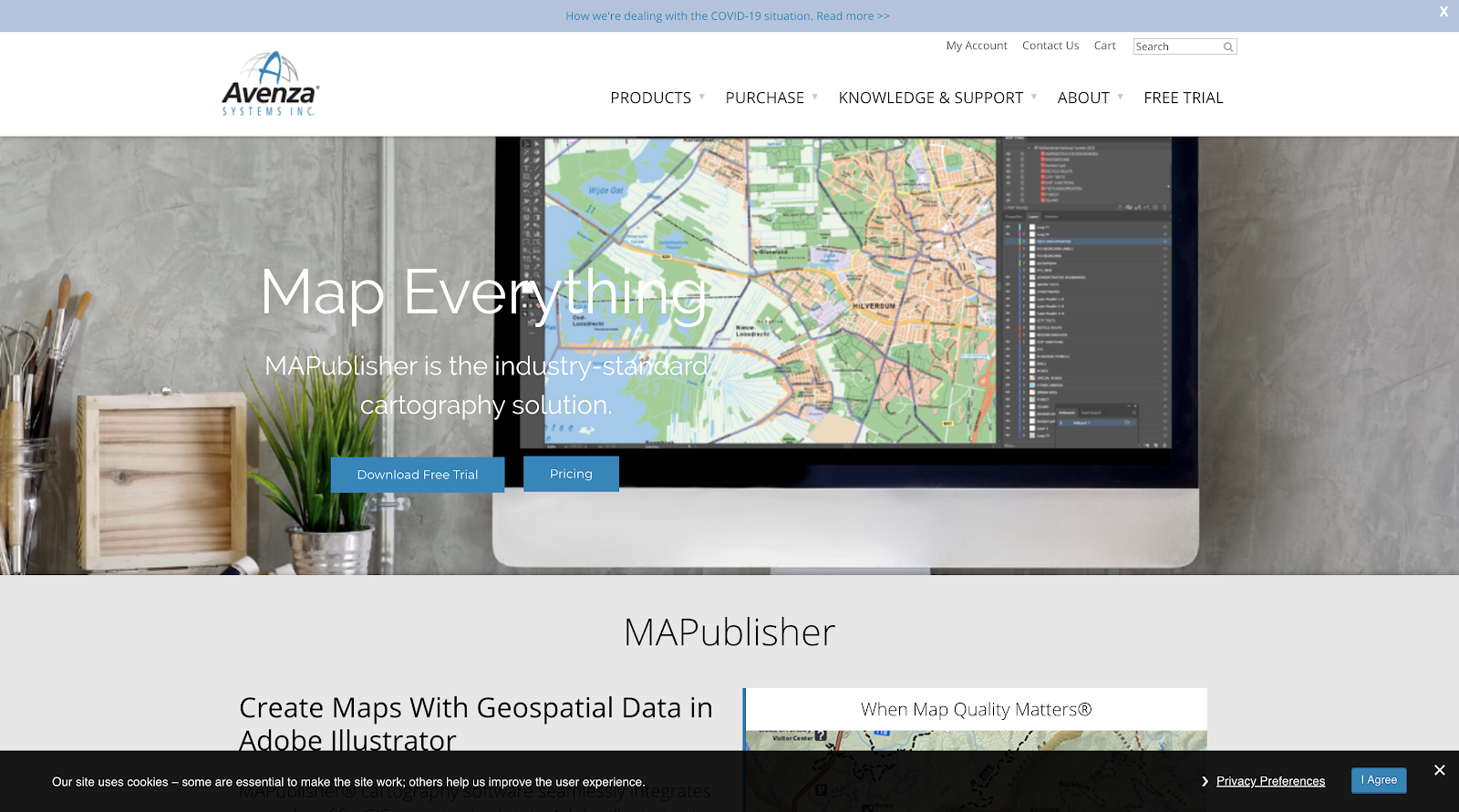
About Avenza
Avenza completes cartographic production and workflow with greater ease and flexibility than ever before by transforming raw GIS data into high-quality map products using the MAPublisher add-on for Adobe Creative Cloud. MAPublisher lets users quickly import a wide variety of data formats, create and refine maps with minimal effort using Adobe Illustrator design tools, and export maps to different file formats for print or digital publishing.
Avenza Systems Features
- Color Coding
- Geocoding
- Image Exporting
- Image Management
- Internet Mapping
- Interoperability
- Labeling
- Map Creation
- Map Sharing
- Spatial Analysis
Avenza Systems Overview
- Avenza provides a free trial.
- Deployment – Mac and Windows.
- Training – In Person, Live Online, Webinars and Documentation
- Support – Business Hours and Online
Avenza Systems Video Support – https://www.youtube.com/user/AvenzaTutorials
5. eSpatial – All-in-one Mapping Software.
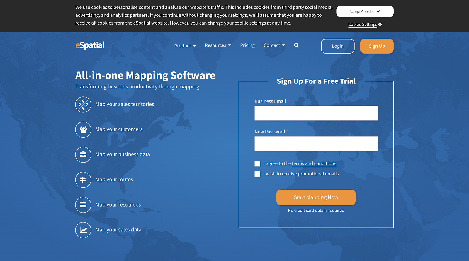
About eSpatial
eSpatial helps you transform business productivity through mapping. With eSpatial mapping software one can easily upload and visualize their data, plan routes and build territories and quickly create dynamic reports. It’s rapid visual insight that takes the guesswork out of decision making. And with eSpatial’s automated Territory Optimizer, one can build and optimize territories in minutes.
eSpatial Features
- Map your sales territories
- Map your customers
- Map your business data
- Map your routes
- Map your resources
- Map your sales data
- Reveal data intensities with heat maps
- Planning and routing for field sales teams
- Plot pins on an interactive map
- Identify opportunities with radius maps
- Manage your sales territories
- Use annotations to give your data context
- Salesforce action from a point
- Share your map as a template
- Prioritize accounts
- Plan their week
- Optimize sales call routes
- Fill up their schedules
- Update records on the go
eSpatial Pricing
- Pro – $1,295/ per year
- Team – $2,995/ per year
- Team Plus – $5,995/ per year
- eSpatial provides a free demo as well
eSaptial Video Support – https://www.youtube.com/user/eSpatialTutorials
6. LocationIQ – Geocoding, Maps and Routing for everyone • Affordable • Scalable.
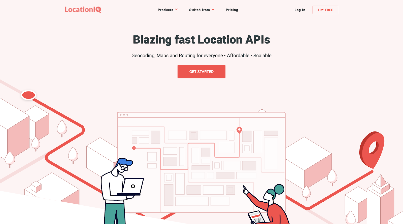
About LocationIQ
LocationIQ offers a suite of services that provides for powerful geolocation experiences that are reliable, affordable and scalable. LocationIQ provides Reverse geocoding, forward geocoding, Autocomplete, Raster, Vector Map tiles, Dynamic and Static Maps, Routing, Distance Matrix, Map-matching, Nearest and much more.
LocationIQ Features
- D Imagery
- Census Data Integration
- Geocoding
- Image Exporting
- Internet Mapping
- Labeling
- Map Creation
- Map Sharing
- Spatial Analysis
- Geocoding
- Routing
- Affordable
- Scalable
- Works everywhere
- Flexible Licensing
LocationIQ Pricing
- Developer – $95 (Billed Monthly)
- Starter – $200 (Billed Monthly)
- Growth – $350 (Billed Monthly)
- Business Plans – $950 (Billed Monthly)
- LocationIQ provides a free demo as well
LocationIQ Video Support – https://www.youtube.com/channel/UCN8IZQaBb9nE3NNpJNuQ7kQ
7. Pitney Bowes’s MapInfo Pro – An Outstanding Customer Service Experience.
About MapInfo
MapInfo is a desktop solution that helps businesses easily visualize the relationships between data and geography through location analytics. With spatial analysis, map publishing and search capabilities, the solution lets small to large businesses prepare data for mapping applications and map models.
MapInfo Pro Features
- Standard Delivery
- Delivery Guarantee
- Parcel Protection
- Global Inbound
- Presort Services
- First-Class Mail
- Bound & Packet Mail
- Marketing Mail
- Equipment Financing
- Commercial Lending
- Global Payments
- Consulting
- Technology & Implementation
- Training
- Maintenance Support
MapInfo Pro Overview
- Deployment – Windows
- Support – Online
Pitney Bowes Video Support – https://www.youtube.com/user/PitneyBowesInc
8. CARTO – Unlock the power of spatial analysis.
About CARTO
The Carto platform empowers everyone from business analysts to data scientists, to turn location data into business outcomes. CARTO’s open, cloud software offers visual insights on where things happen, why they happen and predict what will happen in the future. The software accelerates innovation, finds efficiencies, power new use cases and disrupt business models through the use of Location Intelligence. Carto combines spatial and temporal data to power business outcomes.
CARTO Features
- Census Data Integration
- Geocoding
- Image Exporting
- Internet Mapping
- Interoperability
- Labeling
- Map Creation
- Map Sharing
- Spatial Analysis
CARTO Pricing
- CARTO provides a free trial available as well.
- Individual – $199 per month.
- Enterprise – Custom pricing
CARTO Video Support – https://www.youtube.com/user/CartoDB
9. QGIS – A Free and Open Source Geographic Information System.
About QGIS
QGIS is a GNU licensed user friendly Open Source Geographic Information System. QGIS is an official project of the Open Source Geospatial Foundation (OSGeo). It runs on Linux, Unix, Mac OSX, Windows and Android and supports numerous vector, raster, and database formats and functionalities. It’s an open source solution for creating, editing, visualizing, and analyzing geo-spatial information.
QGIS Features
- View data
- Explore data and compose maps
- Create, edit, manage and export data
- Analyze data
- Publish maps on the Internet
- Extend QGIS functionality through plugins
- Core Plugins
- External Python Plugins
- Python Console
QGIS Overview
- The platform is an open source project.
10. Nobel Systems Geoviewer Mobile, IoT, and Billing – YOUR PREMIER GIS SOLUTIONS COMPANY
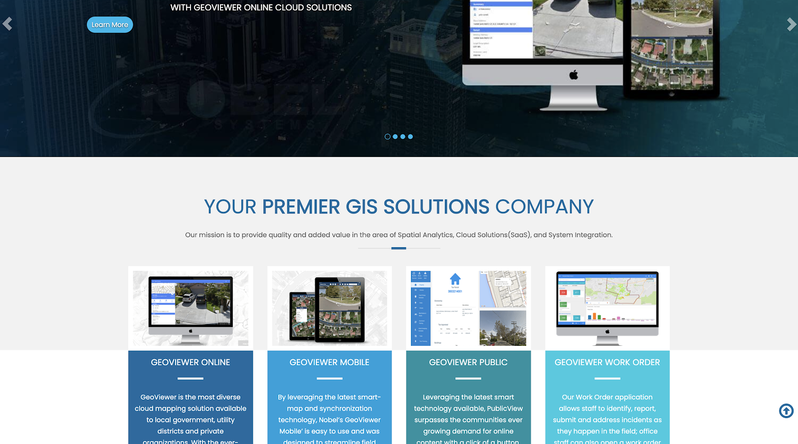
About Nobel Systems
Nobel Systems uses the latest cloud based technology, and the latest GIS tools, GeoViewer unifies many field and operational processes to help manage back office to field operations. GeoViewer’s advanced technology allows field staff to view, analyze and collect data in real-time or offline without ever having to worry about lost work. GeoViewer offers solutions for Billing, Inventory, CMMS, IoT, and GIS Analysis and predictive modeling. To top it all off, GeoViewer can also integrate with many legacy systems.
Nobel Systems Features
- 3D Imagery
- Census Data Integration
- Color Coding
- Geocoding
- Image Exporting
- Image Management
- Internet Mapping
- Interoperability
- Labeling
- Map Creation
- Map Sharing
- Spatial Analysis
Nobel Systems Overview
- Nobel Systems provides a free trial.
- Deployment – Mac, Web-Based, Cloud, SaaS and iPhone / iPad
- Training – In Person, Live Online, Webinars and Documentation
- Support – 24/7(Live Rep)
Nobel Systems Video Support – https://www.youtube.com/channel/UCHIyZo0qrgV7v816ebYTkZA
11.CleverMaps – The leading platform for spatial data analytics.
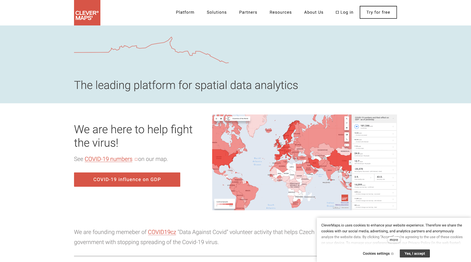
About CleverMaps
CleverMaps supports everyday business users to make strategic and tactical decisions where the location matters. It connects large volumes of internal and external business data and visualises the business impact of location. CleverMaps is a cloud-based location intelligence platform. It is focused on use cases such as Location Planning, Market Potential and Share, Omnichannel and Branch Network Optimization, Customer Segmentation, Territory Management, Geo-Marketing, Competitor Analysis.
CleverMaps Features
- Map Creation
- Map Sharing
- Spatial Analysis
- Census Data Integration
- Benchmarking
- Dashboard
- Key Performance Indicators
- Performance Metrics
- Profitability Analysis
- Publishing / Sharing
- Scorecards
- Strategic Planning
- Trend / Problem Indicators
- Visual Analytics
- Analytics/Reporting
CleverMaps Overview
- CleverMaps provides a free trial as well.
- Deployment – Mac, Windows, Web-Based, Cloud and SaaS.
- Training – In Person, Live Online, Webinars and Documentation
- Support – Business Hours and Online
CleverMaps Video Support – https://www.youtube.com/channel/UC0mlFhK0PoVpDrCk7nMZjMw
12. Rosmiman – GLOBAL TECHNOLOGY FOR THE DIGITAL TRANSFORMATION OF YOUR ASSET MANAGEMENT.
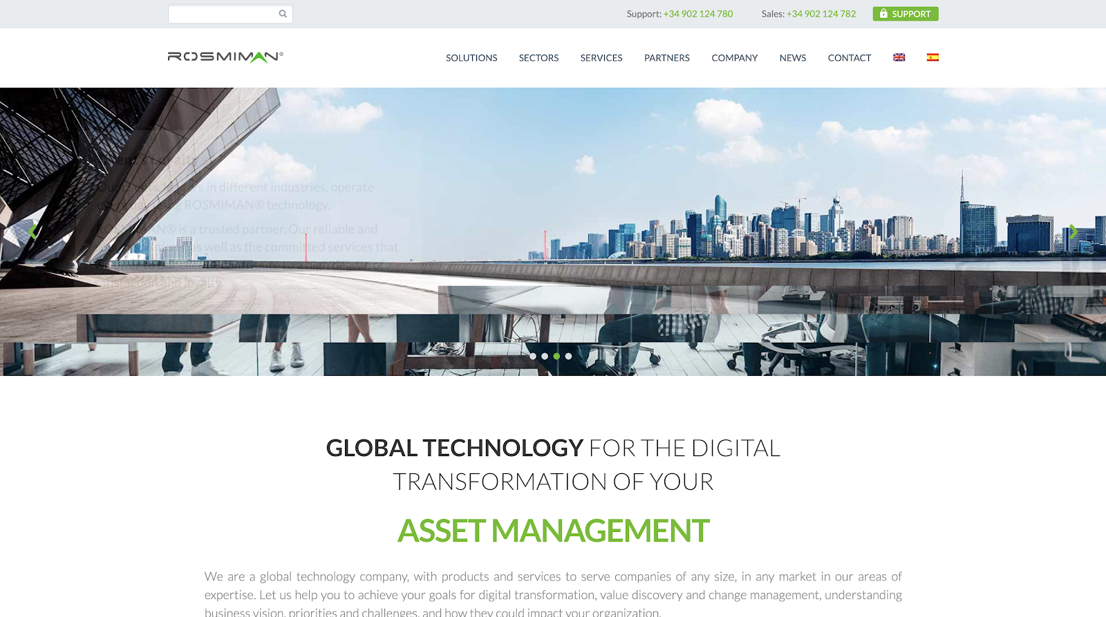
About Rosmiman
Rosmiman IWMS is a Facility Management & Real Estate Management software designed to control and manage the entire real estate and facilities life cycle, including maintenance planning and control, mobile solutions and integration with CAD, GIS, BIM and financial systems. The software offers a comprehensive Asset Management software suite that has been designed and programmed to easily cover all organizations real estate portfolio maintenance and management needs regardless of its industry or size.
Rosmiman Features
- Commercial Properties
- Equipment Management
- Facility Scheduling
- Fixed Asset Management
- For Schools
- Incident Management
- Inspection Management
- Inventory Control
- Preventive Maintenance
- Residential Properties
- Room Scheduling
- Space Management
- Vendor Management
- Visitor Management
- Work Order Management
Rosmiman Overview
- Deployment – Mac, Windows, Web-Based, Cloud, SaaS, iPhone/iPad and Android.
- Training – In Person, Live Online, Webinars and Documentation
- Support – 24/7(Live Rep), Business Hours and Online
Rosmiman IWMS Video Support – https://www.youtube.com/user/rosmiman
13. Data2Decision’s Distribution Deputy – OPTIMIZE CIRCULATION. INCREASE READERSHIP. REDUCE WASTE. STREAMLINE DISTRIBUTION.

About Distribution Deputy
Distribution Deputy is a cloud based newspaper distribution management system that enables publishers and circulation managers to optimize their press runs through predictive analytics and big data analysis.
Distribution Deputy Overview
- Starting Price – $35.00/month
- Free Trial available as well
- Deployment – Web-Based, Cloud and SaaS.
- Training – Live Online, Webinars and Documentation
- Support – Business Hours
Distribution Deputy Features
- Contract Management
- Customer Database
- Inventory Control
- Job Management
- Mobile Access
- Routing
- Self Service Portal
- Technician Management
- Work Order Management
- Transportation Management
- Fleet Management
- Order Management
- Sales Forecasting
- Shipping Management
- Dashboard
- Key Performance Indicators
- Predictive Analytics
Data2Decision Video Support – https://www.youtube.com/channel/UCD46ggmmsmKmCt43u5Fq6TA
14. Safe Software’s FME – Powering the Flow of Data.
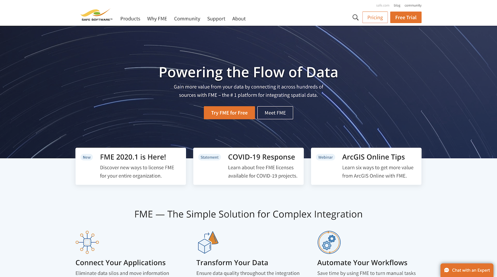
About FME
This software is ideal for GIS departments, it is a spatial data transformation platform that helps businesses automate workflows by providing integrated data to stakeholders in real-time or scheduled basis. FME is a Spatial data transformation platform that works with more than 275 non-spatial and spatial formats.
FME’s Overview
- Starting Price – $750.00/one-time/user
- Deployment – Web-Based, Cloud and SaaS
- Training – In Person, Webinars, Live Online and Documentation
- Support – Business Hours
FME Features
- Image Exporting
- Image Management
- Internet Mapping
- Interoperability
- Labeling
- Spatial Analysis
FME Video Support – https://www.youtube.com/user/FMEchannel
15. CartoVista – Web mapping made easy.
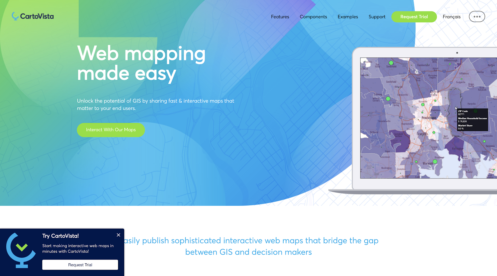
About CartoVista
The Carto platform empowers everyone, from business analysts to data scientists, to turn location data into business outcomes. This open, cloud software offers visual insights on where things happen, why they happen and predict what will happen in the future. The software accelerates innovation, finds efficiencies, power new use cases and disrupt business models through the use of Location Intelligence. Carto combines spatial and temporal data to power business outcomes.
CartoVista Features
- Deploy quickly and avoid IT complications
- Create maps straight from your GIS data
- Load attribute data easily
- Make your data beautiful with photoshop-like effects
- Manage large GIS datasets
- Leverage existing map tiles in any projection
- Create atlas-quality base maps
- Integrate raster imagery
- Use sophisticated thematic analysis tools
- Enhance the user experience with rich feature interactions
- Enable dynamic end user map styling
- Create smart data binding with live web services
- Centralize your projects, manage users & access
- Easily navigate and configure map information
CartoVista Overview
- CartoVista Free Trial available.
- Deployment – Windows, Web-Based, Cloud and SaaS.
- Training – In Person, Live Online, Webinars and Documentation
- Support – Business Hours.
CartoVista Video Support – https://www.youtube.com/channel/UCLAZjkAUdWC2lm0VHqxrWRQ
Final Thoughts!
After putting our lot of efforts and giving precious time, we have made the list of best Geographic Information System Software. In present times, the demand for these softwares have increased and their capabilities have grown by reduced costs.
The advancement in these technologies have been brought because of the revolution towards personal computing and the development of crucial supporting software and digital base map resources. Due to these software, tasks have made spatial analysis feasible for simple users as well as for complex applications. So, choosing the best software according to your needs will help your company in an effective way.
I have read your article carefully and I agree with you very much. This has provided a great help for my thesis writing, and I will seriously improve it. However, I don’t know much about a certain place. Can you help me?
Thank you for your sharing. I am worried that I lack creative ideas. It is your article that makes me full of hope. Thank you. But, I have a question, can you help me?
After reading your article, it reminded me of some things about gate io that I studied before. The content is similar to yours, but your thinking is very special, which gave me a different idea. Thank you. But I still have some questions I want to ask you, I will always pay attention. Thanks.
I am a student of BAK College. The recent paper competition gave me a lot of headaches, and I checked a lot of information. Finally, after reading your article, it suddenly dawned on me that I can still have such an idea. grateful. But I still have some questions, hope you can help me.
The point of view of your article has taught me a lot, and I already know how to improve the paper on gate.oi, thank you. https://www.gate.io/fr/signup/XwNAU
Can you be more specific about the content of your enticle? After reading it, I still have some doubts. Hope you can help me. https://www.binance.com/en/register?ref=P9L9FQKY
I have read your article carefully and I agree with you very much. This has provided a great help for my thesis writing, and I will seriously improve it. However, I don’t know much about a certain place. Can you help me?
Your article gave me a lot of inspiration, I hope you can explain your point of view in more detail, because I have some doubts, thank you.